


Le saix 1032 18kms aujour

Danielba
User GUIDE
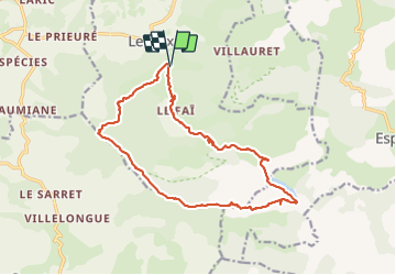

Length
17.7 km

Max alt
1804 m

Uphill gradient
1032 m
Km-Effort
31 km

Min alt
829 m

Downhill gradient
1040 m
Boucle
Yes
Creation date :
2023-09-10 06:24:31.884
Updated on :
2023-09-11 08:40:59.437
8h56
Difficulty : Difficult

FREE GPS app for hiking
 SityTrail
IGN / Geographical institutes
SityTrail Plus
The world is yours!
About
Trail Walking of 17.7 km to be discovered at Provence-Alpes-Côte d'Azur, Hautes-Alpes, Le Saix. This trail is proposed by Danielba .
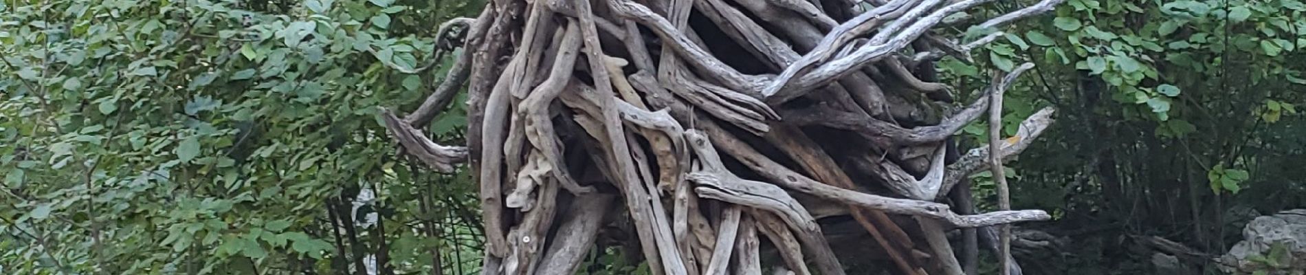
Photos


Positioning
Country:
France
Region :
Provence-Alpes-Côte d'Azur
Department/Province :
Hautes-Alpes
Municipality :
Le Saix
Location:
Unknown
Start:(Dec)
Start:(UTM)
725081 ; 4927889 (31T) N.
Comments